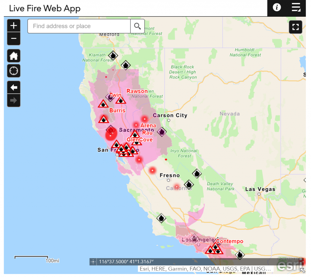
There are only a few maps I really find useful. However, the real-time fire map for California is really a thing:
Fires are a natural part of California ecosystems. Historic fires occur at frequent intervals, but with lower intensity. The high severity and acreage fires commonly seen today are driven by more extreme weather and build-up of fuel from our ongoing fire suppression activities.
There is a lot of useful information about the current fire situation on this map, such as fire perimeter and hot spots. In addition other useful information such as wind patterns and air quality are considered.
The data used is also available via GeoMAC Wildland Fire Support.
Real-time fire map: https://ucanr.edu/sites/fire/Wildfire_Health_-_Safety/Current/
GeoMac: https://www.geomac.gov/viewer/viewer.shtml